Crown Point Trail
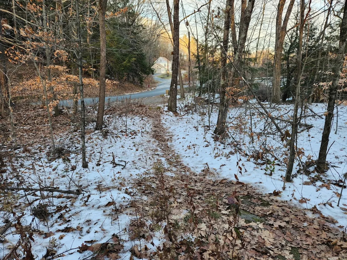
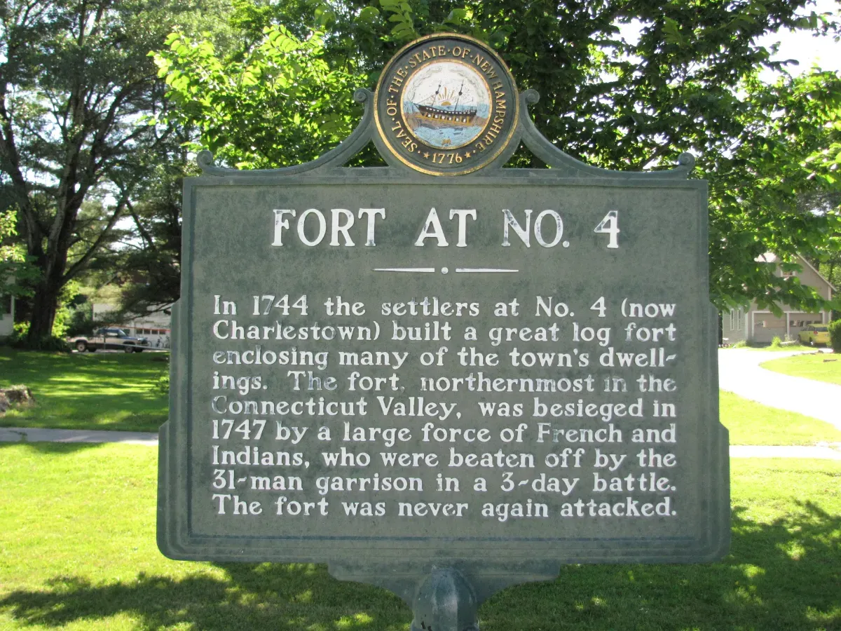
This short out-and-back trail reaches a marker placed by the Daughters of the American Revolution to commemorate the historic Crown Point Road, built in 1759-60 by the British Army and colonial militia forces commanded Gen. John Stark to connect Fort Crown Point near the southern end of Lake Champlain to the Fort at No. 4 in what is now Charlestown, New Hampshire. As the road fell out of use in the late 19th century, commemorative markers were placed along it. This marker records the place where the road crossed the Connecticut River. Parking for several vehicles is available at the trail turnoff from Lovers Lane Road. More information is available there as well as at the nearby Fort at No. 4.
Nearby Places to Explore





















Location & Map
Find this place on Google Maps and get turn-by-turn directions before you go.

Google Reviews
 Andrew Thomson
Neat little hike along a 200 foot ridge above the CT River on the VT/NH border. Apparently it was an original rd built by the English Army and was a main rd in the establishment of these 2 states before all of us were born. Don't forget to visit Charlestown House of Pizza when you're done.
Sep 27, 2022 · Google Review douglas
Parking is a little tight, only enough for 1-2 vehicles. Trail is very easy and is a quick 15 minute in and out that ends with an old stone marker.
Nov 30, 2021 · Google Review